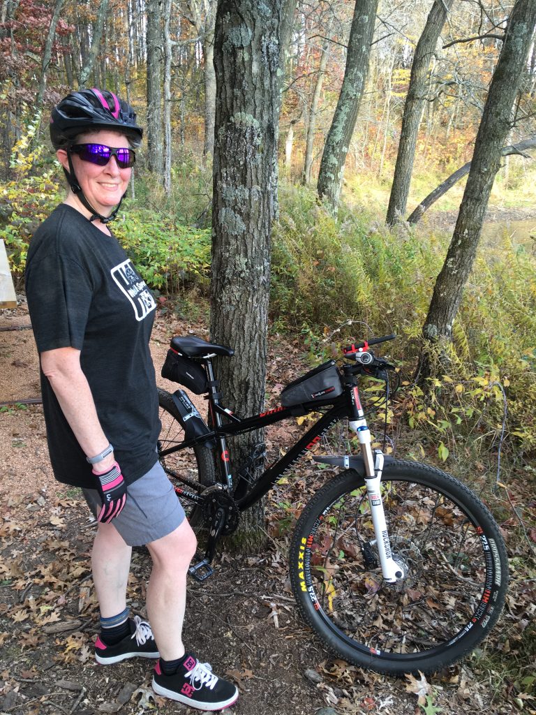
Standing Rocks County Park in Stevens Point, Wisconsin is where Stacey and I ride in this video. We ride the trails “Super Dooper Looper” and “Green Goblin.” The video presents the Cykelstrom Bicycle Power Meter App and uses graphics to demonstrate how the app compares to a crank based power meter.
To see more Cykelstrom Bicycle Power Meter App videos, please visit @Cykelstrom on YouTube and remember to “Like” and “Subscribe” to our channel.
Standing Rocks County Park Trail Pic


Mountain Biking Standing Rocks County Park Cykelstrom Accuracy
The best accuracy for this ride is highlighted in bold.
| Sensors | Crank Power Meter (Watts avg.) | Cykelstrom (Watts avg.) | Difference (Watts) | Margin of Error (Watts) |
| External Speed and Cadence | 84.89 | 79.63 | -5.26 | +/- 1.99 |
| GPS Speed and External Cadence | 84.89 | 69.60 | -15.29 | +/- 2.14 |
| External Speed Only | 86.25 | 105.16 | 18.91 | +/- 2.56 |
| GPS Speed Only | 86.25 | 95.38 | 9.12 | +/- 2.78 |
The Mountain Bike For This Test Ride
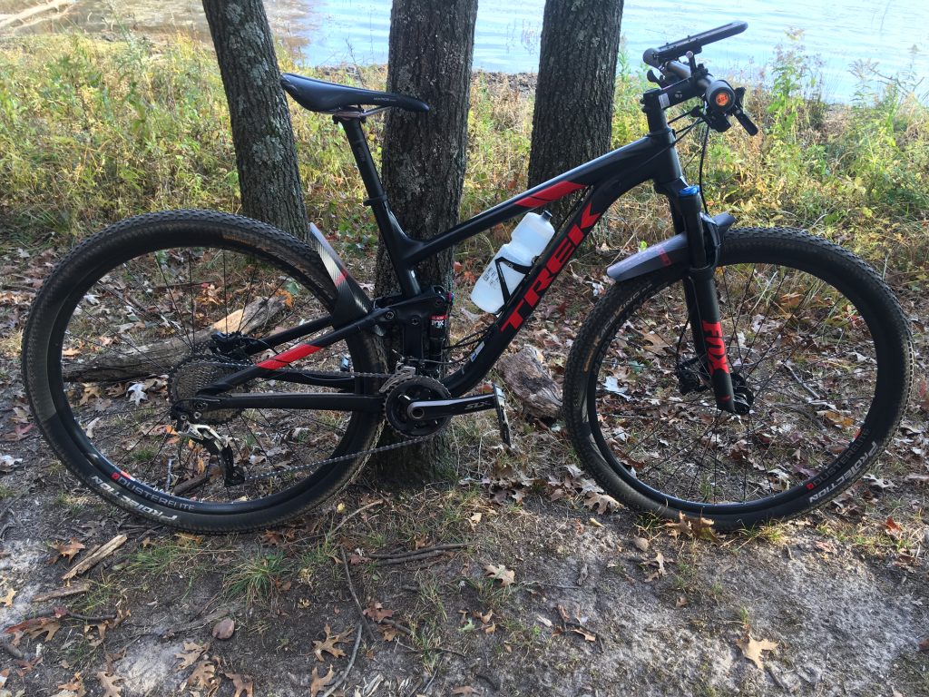
I rode a Trek Top Fuel 8 as a full suspension mountain bike for this ride equipped with a 4iiii Precision Pro left sided power meter on a Shimano SLX 11-speed group set. Cadence information was collected by Cykelstrom from the power meter. Speed information was collected by Cykelstrom using a Wahoo Bluetooth speed sensor. Heart rate information was collected with a Polar H7 chest strap sensor. The smartphone was a MotorolaG6 running Android Oreo and Cykelstrom version 1.36. All of the power meter and sensor data and was collected, saved locally and automatically uploaded to Strava with the Cykelstrom Bicycle Power Meter App.
Discussion Of This Ride’s Results
Highlighted in bold are the results from “External Speed and Cadence” as the most accurate in the table above. The Standing Rocks County Park mountain bike trail “Super Dooper Looper” has a lot of climbing with short punchy rollers, table tops, berms, and jumps. The trees were well canopied while we were riding and GPS speed information was affected. When riding in sheltered or heavy canopied areas, GPS information is not as reliable as also having external Bluetooth sensors equipped on your bike. For more information about how to add Bluetooth sensors to the Cykelstrom Mountain Biking Power Meter App visit the article “Adding Bluetooth Sensors to Cykelstrom.”
Strava Activity – Standing Rocks County Park
Click on the map to visit this activity in Strava.
| Elapsed Time | Moving Time | Distance | Average Speed | Max Speed | Elevation Gain | Calories Burned |
|---|---|---|---|---|---|---|
|
01:28:12
hours
|
01:12:43
hours
|
8.20
mi.
|
6.77
mph
|
13.12
mph
|
562.99
ft.
|
549
kcal
|